

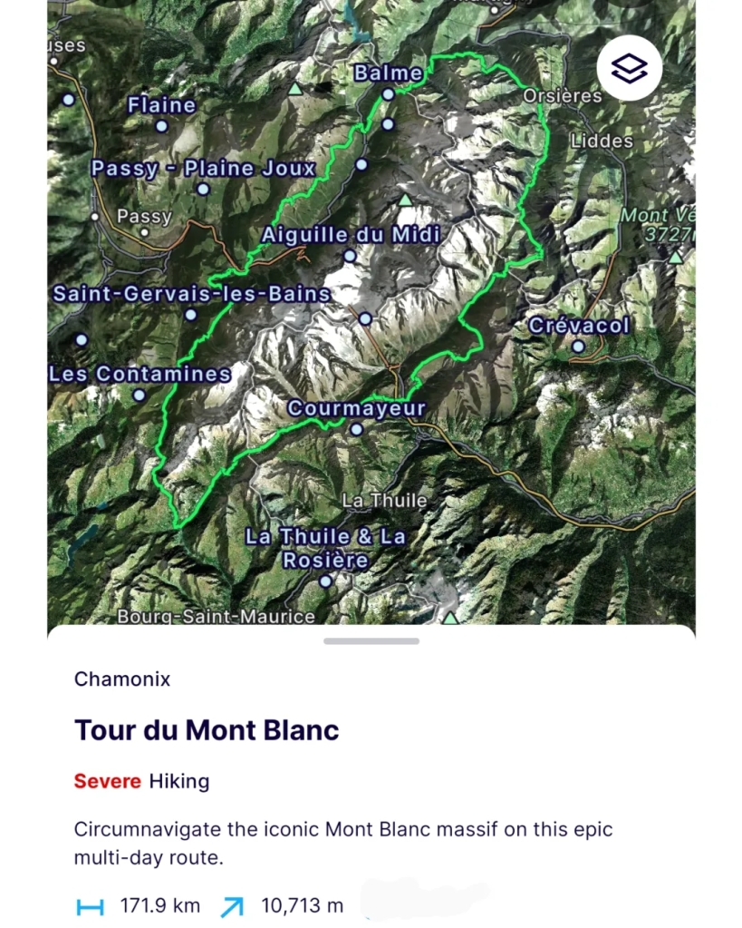
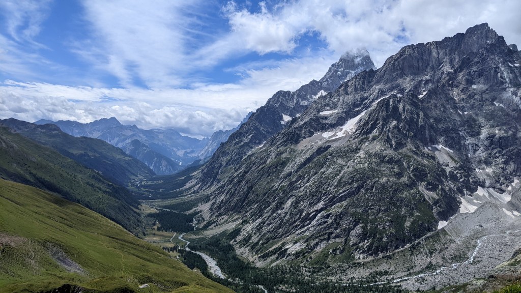
The Tour du Mont Blanc, also known as the TMB, is one of the most popular long-distance hikes in the world. The route circles the Mont Blanc mountain, which rises to a height of 4,808 meters above sea level and is the highest point in Western Europe. The TMB hiking route covers a distance of roughly 170 kilometres with over 10,000 mtrs of elevation gain & loss. Just to put things in perspective, Mt Everest is 8,500 mtrs above sea level 🙂 This looped trek goes through 3 countries namely France, Italy & Switzerland 🇨🇵 🇮🇹 🇨🇭
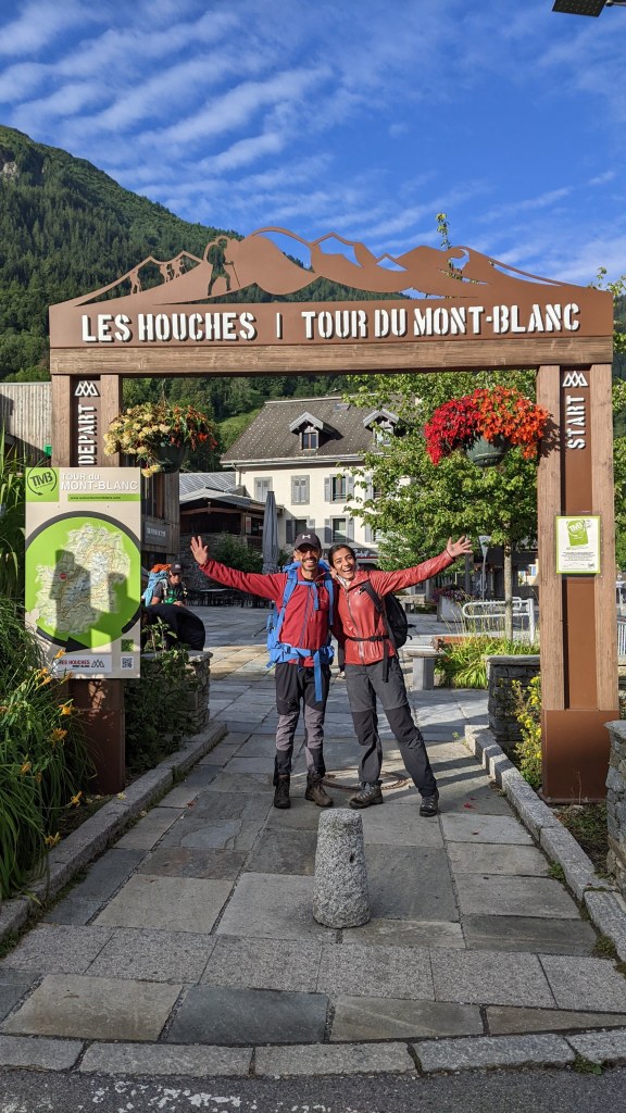
Day 0
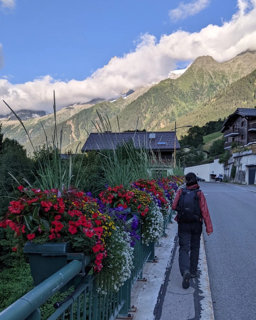
Dublin -> Geneva -> Les Houches
We landed in Geneva on 26 July at around 5 pm and boarded the bus to starting point of the trek, a quaint village of Les Houches in France. The bus counter is located right next to Montreux jazz cafe at Geneva airport arrivals hence pretty easy to find.
The bus journey is pretty scenic and you get a nice glimpse of the Alps and what’s coming in the next 10 days of our hike 🙂
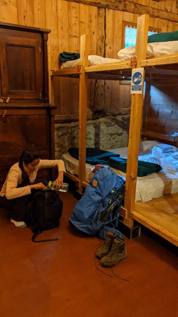
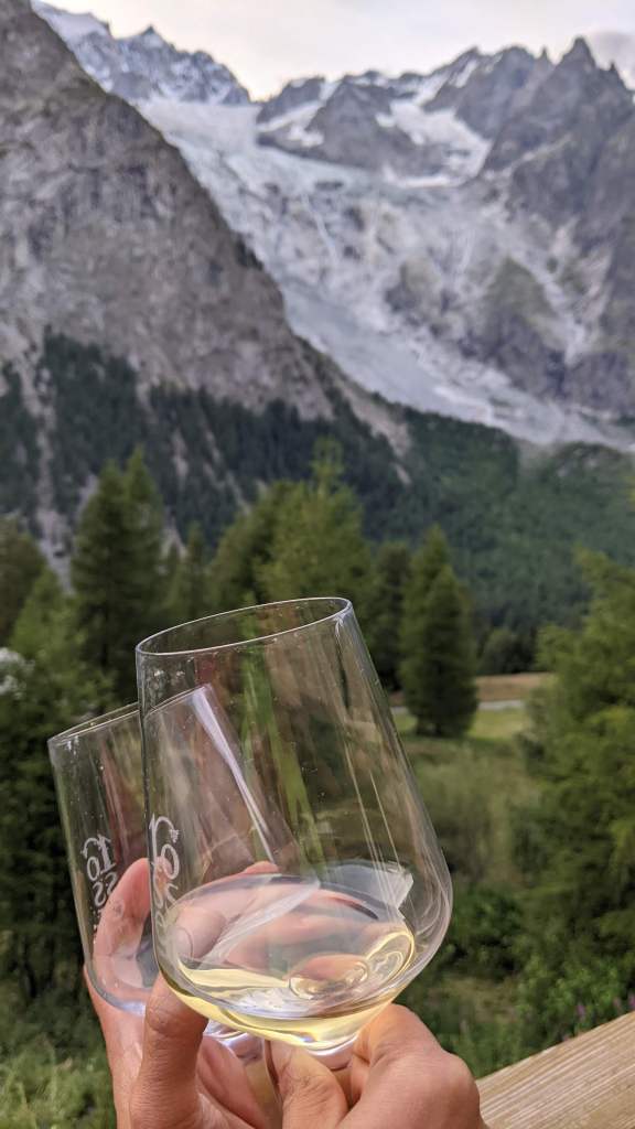
We hit the bed after a nice dinner at our refuge, Gite Michel Fagot in Les Houches. Their caramel pancake was delicious!
Day 1
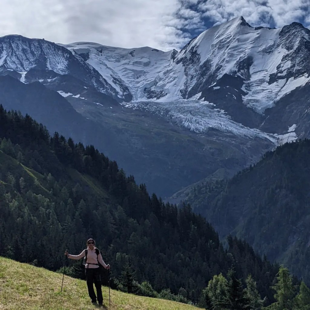
Les Houches -> Bellevue -> Mont Lachat -> Bionnassay
Distance covered – 14 kms
⬆️ 1350 mtrs
⬇️ 650 mtrs
After an early morning breakfast at 7:30 am, we set out towards Bellevue cable car which took us a bit closer to Mont Blanc and Bionnassay glacier.
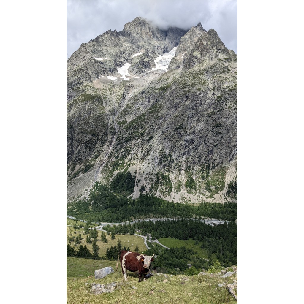
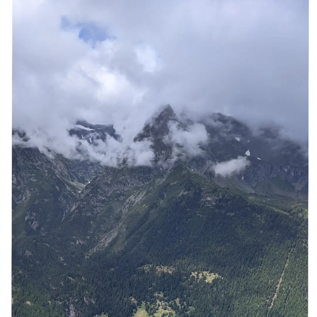
A short hike up to Mont Lachat is well worth it to get a 360 degree view of the whole mountain range and we even saw a rescue helicopter doing the rounds (fingers crossed nothing too serious).
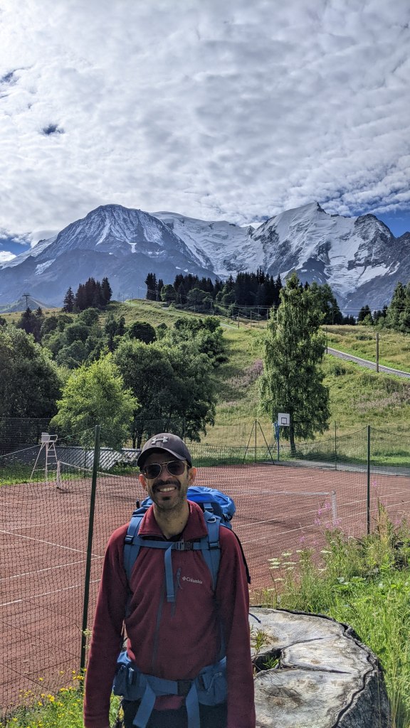
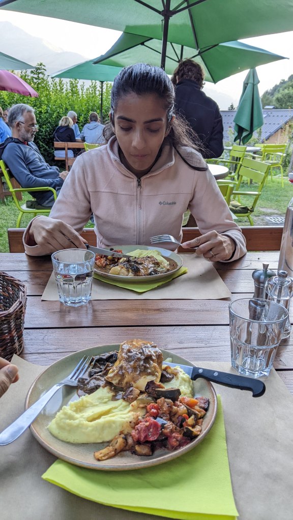
On the way down towards Bionnassay, we saw a tennis court with some breathtaking views (I wonder if Federer ever came here to play). We stayed the night at Auberge de Bionnassay and I must say, the dinner here (mushroom risotto, roast chicken & blueberry cheesecake) was out of this world!
Day 2
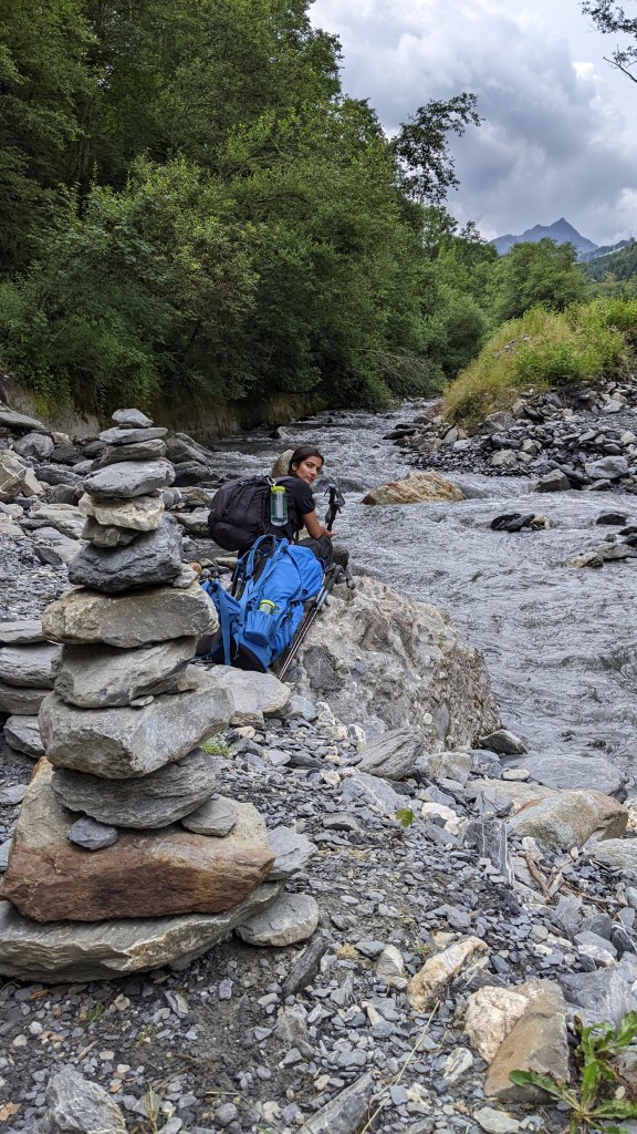
Bionnassay -> Les Contamines
Distance covered – 11 kms
⬆️ 250 mtrs
⬇️ 400 mtrs
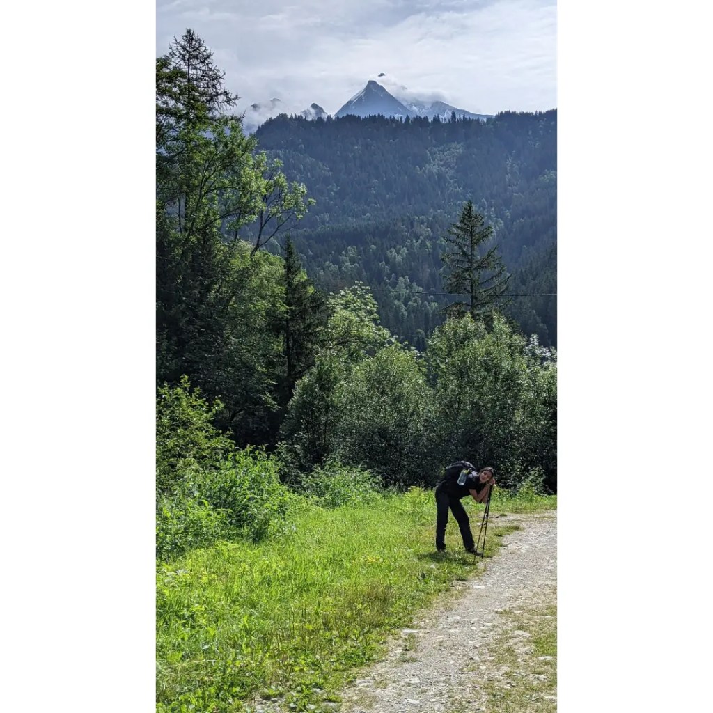
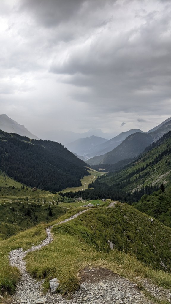
Today we descended towards the Les Contamines valley and it was a relatively relaxed hike mostly downhill & a lot more easier on the knees. The terrain was covered with large forest trees due to the low altitude as we crossed hanging bridges & walked by the quick flowing Le Bonnant river which originates from the Bionnassay glacier.
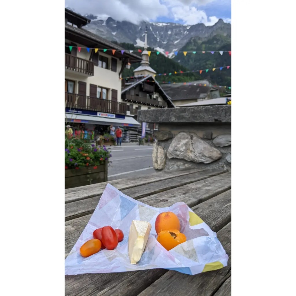
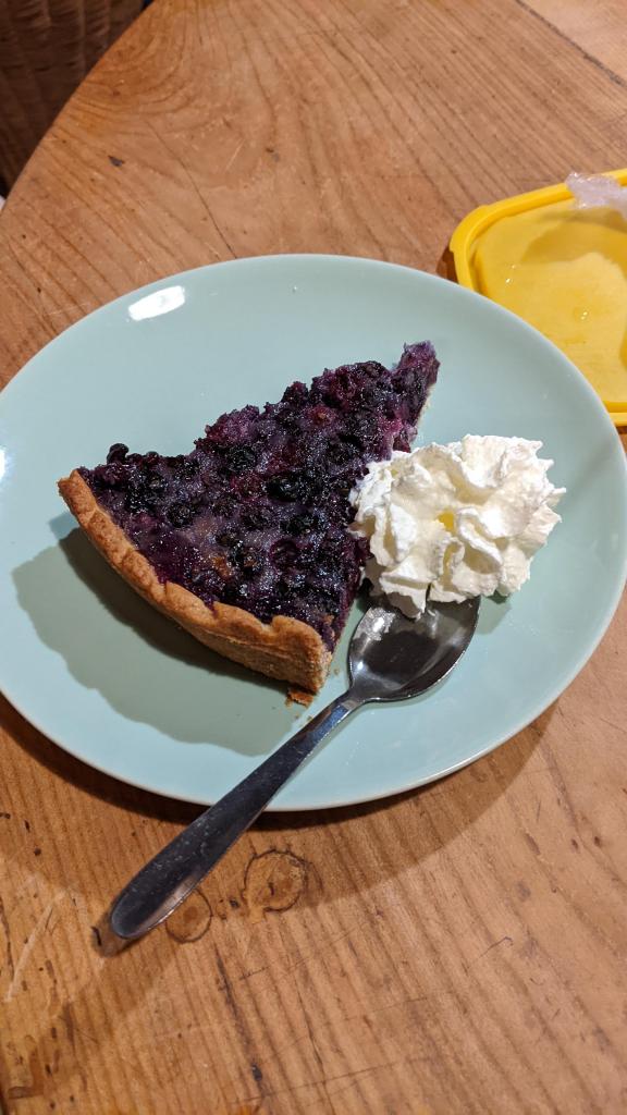
On reaching the small town of Les Contamines, we treated ourselves to really fresh local organic apricots, cheese and cherry tomatoes. Not to forget, their famous blueberry tart & wild blueberry juice from the alps 😋
Tomorrow is going to be a long day as we will come to the end of the French alps 🇨🇵 with a climb of 1400 metres and it looks like there’s rain & thunder forecast in the afternoon ⛈️
Day 3
Les Contamines -> Chapieux -> Refuge Des Mottets
Distance covered – 23 kms
⬆️ 1650 mtrs
⬇️ 900 mtrs
Considered one of the toughest days of the trek, we were tested physically and mentally after 9 hrs of walking in mostly overcast and rainy conditions. In hindsight, it’s probably a good thing the weather wasn’t too hot otherwise the climb would’ve been extremely energy sapping although the rain did make the terrain difficult to manuever on especially when there were slippery loose rocks while walking on cliff edges.
Today’s highest point was at an altitude of 2510 mtrs above sea level with stunning views of the Aguille des glaciers. We finally reached our refuge for the night close to the base of the glacier and celebrated the day with some delicious french dinner, good wine and music 🎶🤗
Day 4
Refuge Des Mottets -> Col de la Seigne -> Rifugio Monte Bianco
Distance covered – 20 kms
⬆️ 1050 mtrs
⬇️ 1200 mtrs
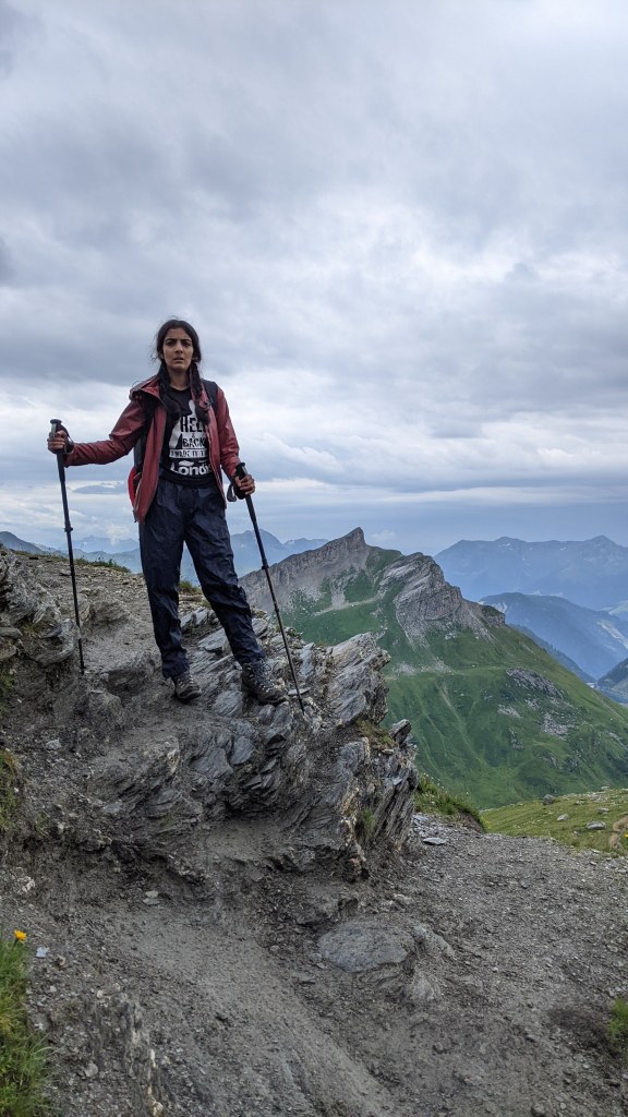
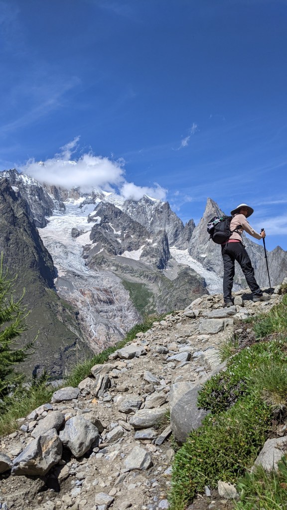
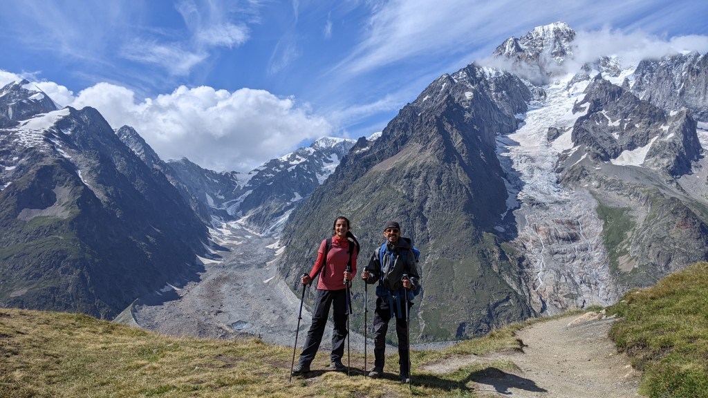
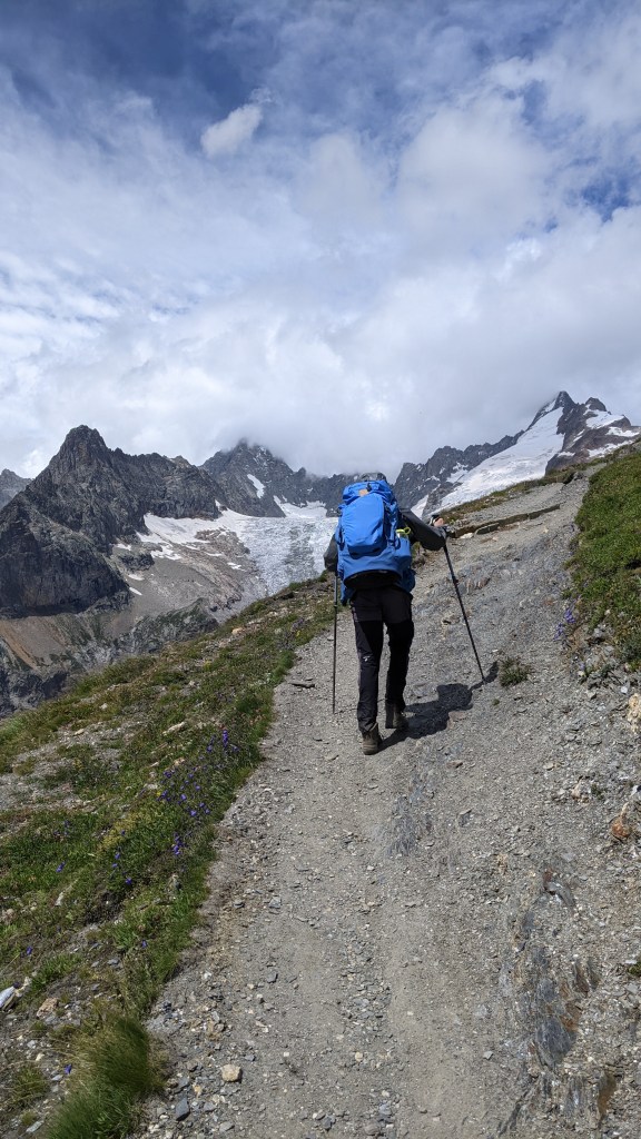
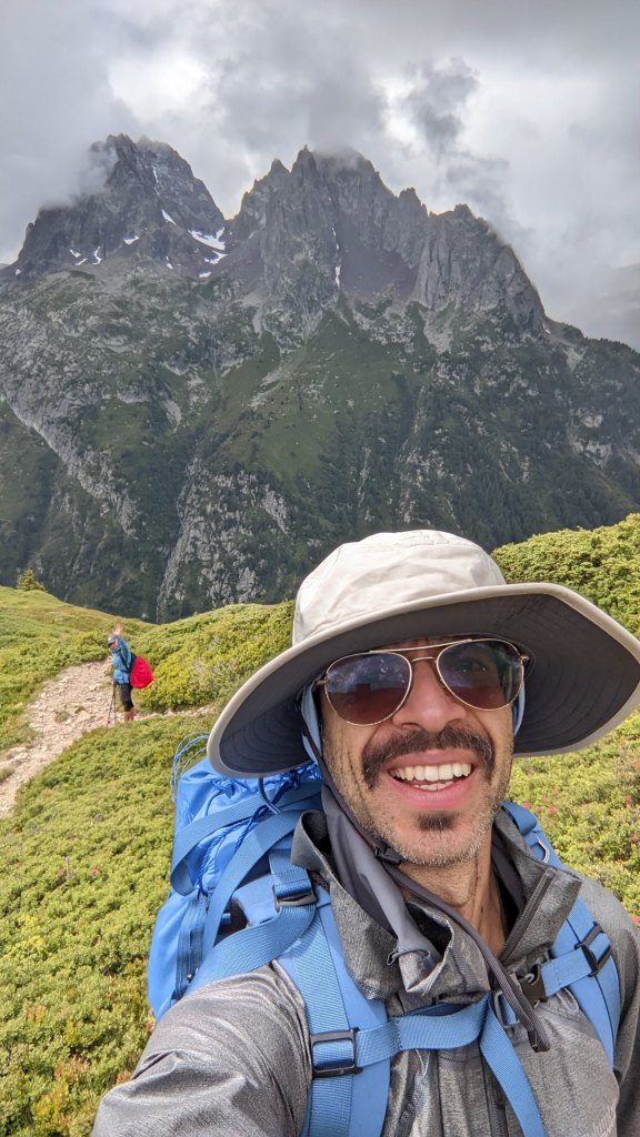
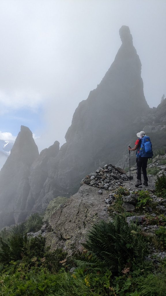
The most scenic day so far as we crossed from the French Alps 🇨🇵 to Italian Alps 🇮🇹 via Col de la Seigne at 2516 mtrs above sea level. It felt like revelation of a new world here with magnificent views of the 3 glaciers originating from Mont blanc itself.
The rugged rocky peaks surrounding these glaciers makes them look like as if these are soldiers with their pointed guns safeguarding the glaciers & Mont blanc.
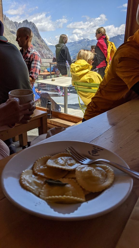
We stopped on the way at Rifugio Elisabetta for lunch and the Ravioli & coffee there was one of the best we’ve ever tasted. Highly recommended! 😋
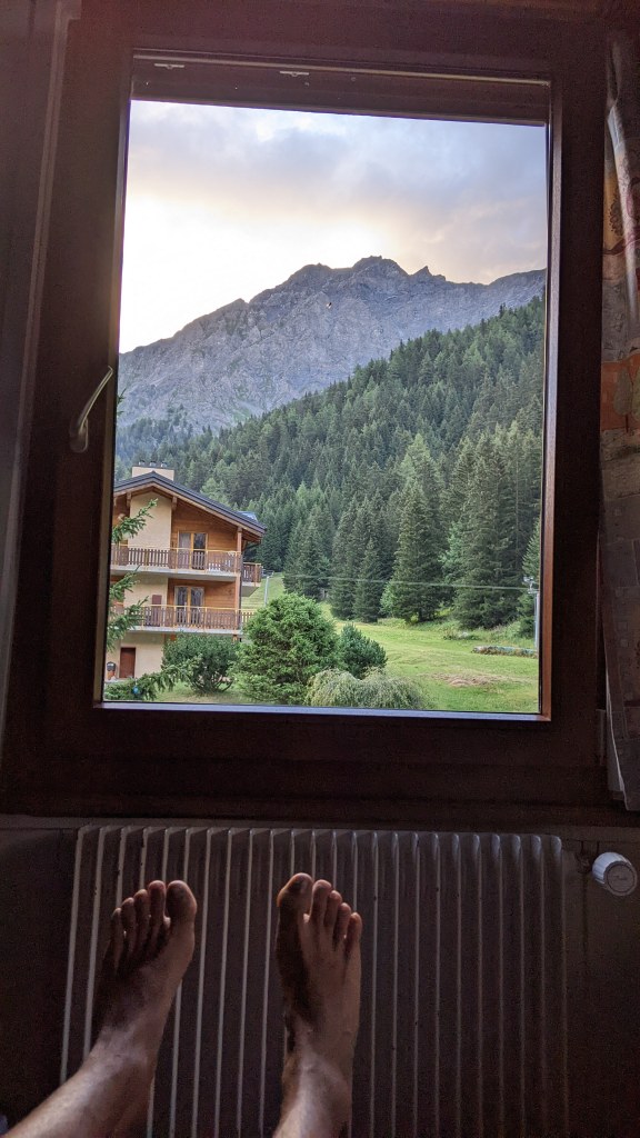
We eventually reached Rifugio Monte Bianco at 7 pm just in time for dinner which was absolutely delicious especially their walnut custard dessert which tasted something out of this world. There were quite a lot of ascents and descents today but still the most beautiful day so far. Also, the views from our room made up for all the tired legs ☺️
Day 5
Rifugio Monte Bianco -> Courmayeur -> Rifugio Bertone
Distance covered – 10 kms
⬆️ 1350 mtrs
⬇️ 1000 mtrs
We thought today was going to be a relatively easy day considering the distance was only 10 kms but the steep ascents and descents especially in this Italian summer heat was pretty tough. Infact this was the first time during this trek that we finished our water before reaching the refuge.
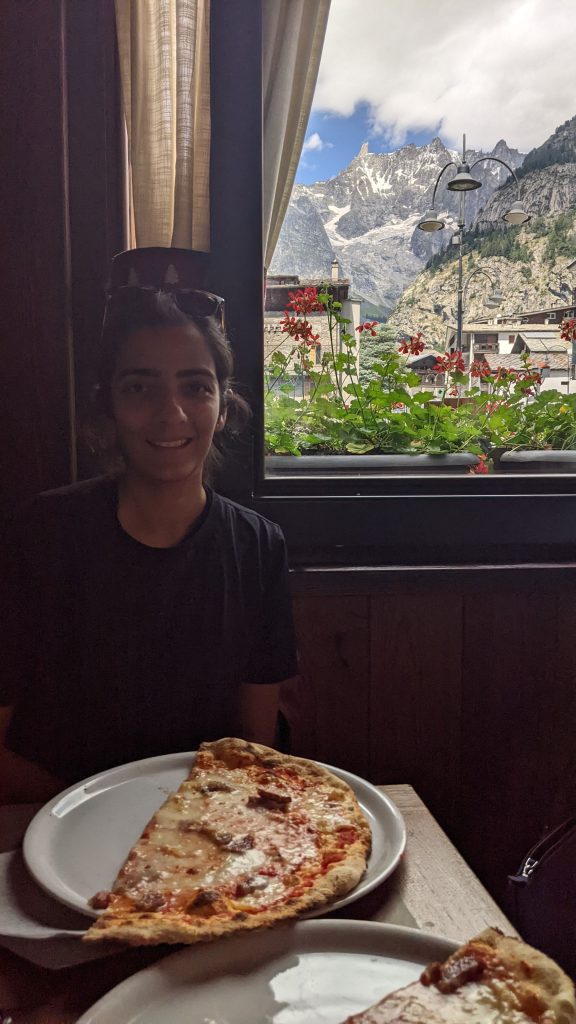
This stage passes through the town of Courmayeur and we were able to feed ourselves with some fresh fruits & vegetables and even got time to have some delicious brocolli foccacia & sheep cheese pizza. Italian food is “deliciozo” 😋
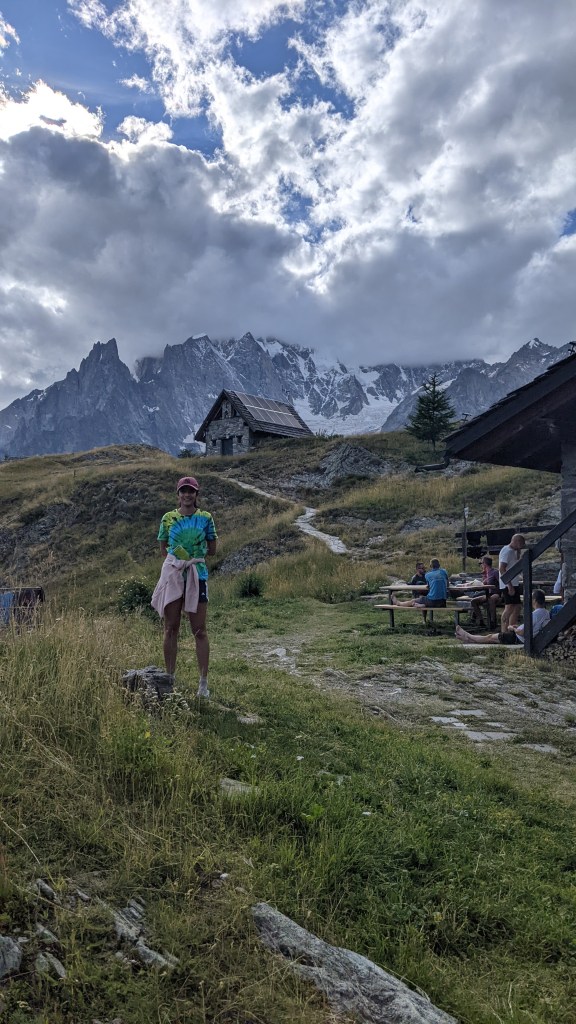
The ascent from Courmayeur to Rifugio Bertone is a tough one as we walked up from 1100 mtrs to 2000 mtrs altitude within a span of 5 kms with temperatures crossing 30 degrees in the afternoon.
One funny thing here worth mentioning is that you just get one 3 minute shower so keep that in mind if you’re one of those people like me who like their long showers 😂
Despite all this, it was worth the effort as the food and wine up here at Bertone was absolutely wonderful. It’s an experience to be staying up here as you get to see the night lights of Courmayeur in front and the massive Aiguille de glacier behind.
We have the longest day of our trek tomorrow as we need to walk 28 kms while crossing from Italy 🇮🇹 to Switzerland 🇨🇭. Gotta give these legs some good rest tonight 🤞😊
Day 6
Rifugio Bertone -> Grand Col Farrett -> La Fouly
Distance covered – 28 kms
⬆️ 1300 mtrs
⬇️ 1600 mtrs
One thing people on the TMB trail ask each other about the most is where are you going…And whenever we would tell someone we are walking from Bertone to La Fouly, their reaction would be either a gush of surprise or astonishment. Most replies would be something on the lines of “What?? Why?? How will you reach your refuge on time?”
Hence we knew this was going to be one hell of a day and we were already trying to be mentally prepared for it the past few days. We woke up earlier than usual and left our refuge at 6 am to get some extra walking time.
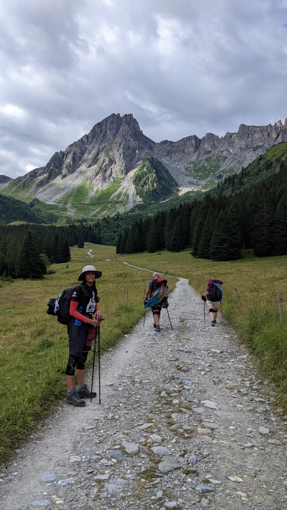
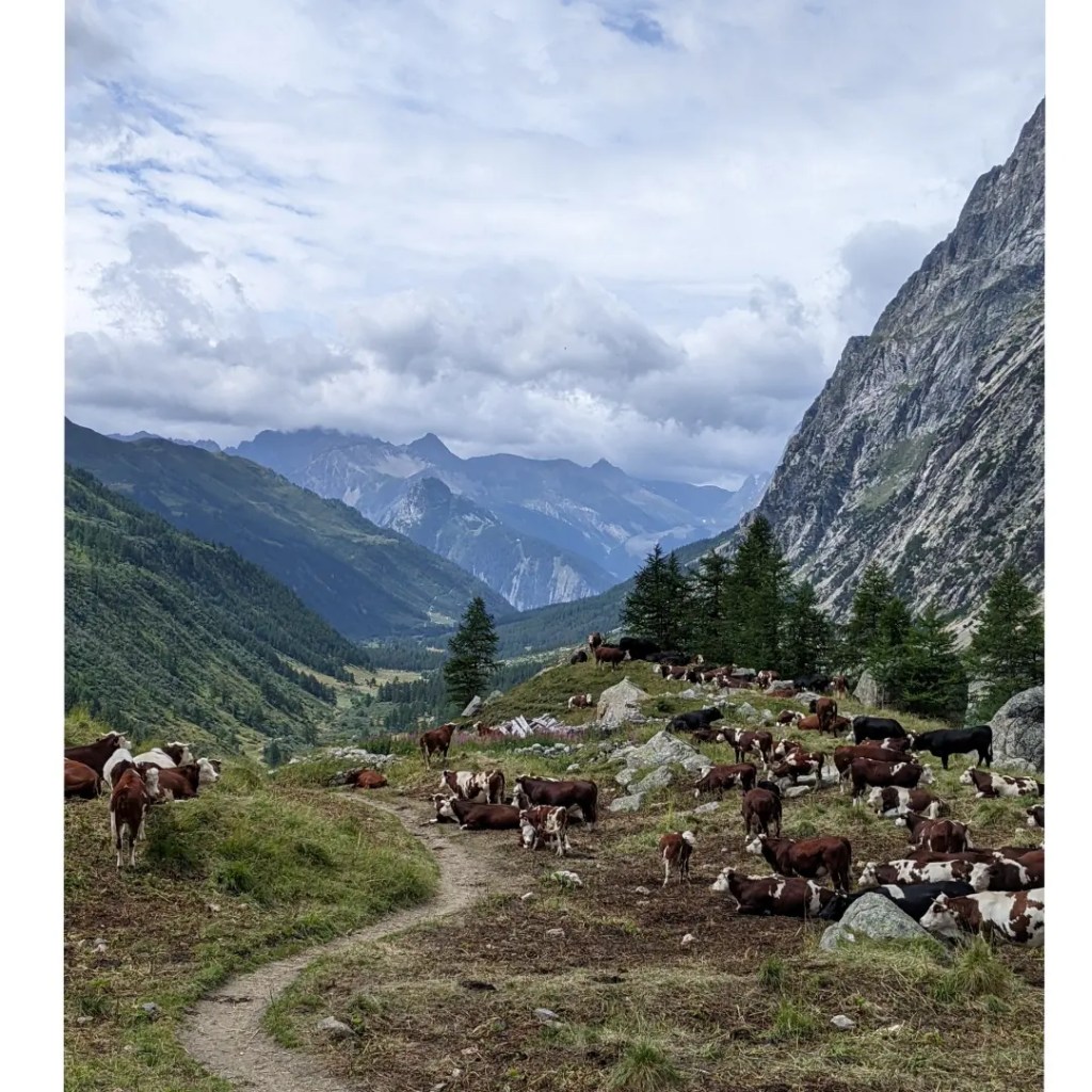
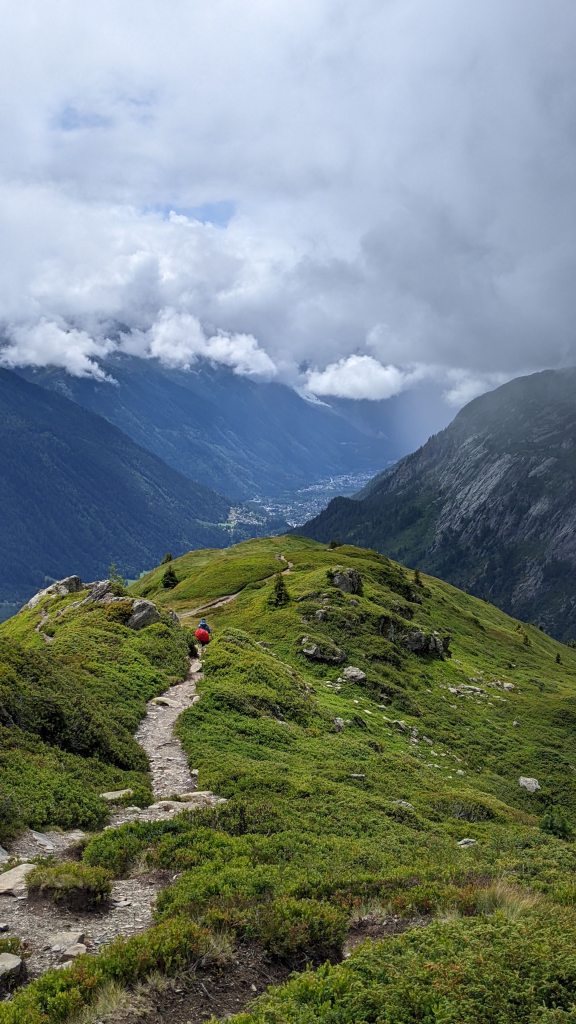
The trail itself was quite interesting with the three large mountains (known as the grand jorasses) always on our left and quite close to the path. The constant sound of the glaciers melting into streams gave a meditative feeling as we walked through the landscape which was filled with fresh meadows including lots of colorful flowers, clanging cowbells of grazing cattle and lots of little milky stream crossings.
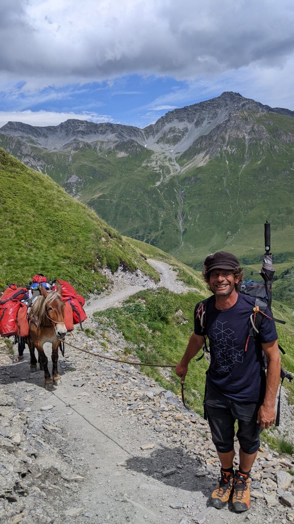
The climb to Grand Col Farrett was brutal as we went up to an altitude of 2500 mtrs and crossed the Italian border 🇮🇹 to Switzerland 🇨🇭 After that, the trail was just a series of constant zigzags down to the valley of La Fouly. We met a friendly porter with his pony who told us that up here in the Alps, ponies are the only way to transport groceries from valleys up to the refuges at higher altitudes.
Finally we reached La Fouly at 6 pm after 12 hrs of strenuous walking and luckily for us, there was a town festival going on to celebrate the Swiss independence day with a live trumpet band and we got to taste some amazing swiss cheese, wild boar, red wine and swiss dark chocolate. The long walk today felt totally worth it in the end 🤗
Day 7
La Fouly -> Champex -> Arpette
Distance covered – 18 kms
⬆️ 600 mtrs
⬇️ 650 mtrs
Considering that this is known as the easiest day of TMB, we had a relaxed breakfast for the 1st time on this trek as we left our refuge quite late at around 8 am.
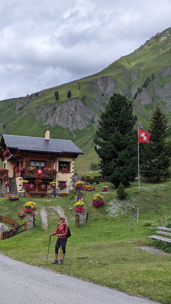
The trail meandered through lush green pastures of the swiss mountain valley via hamlets containing tiny chalets & barns. It felt like passing through a place locked in time and we had gone back to the 18th century when daily life was simpler 😊
Apart from a slightly exposed section where we had to hold chains attached to the rocky cliff, rest of the day was quite a relaxed hike as compared to previous days.
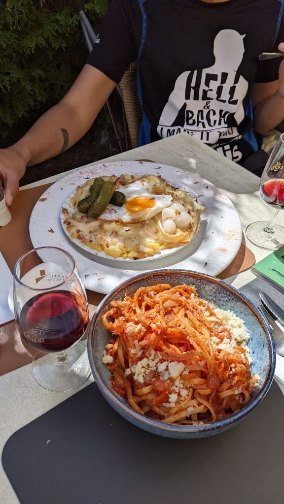
Since we had passed by the 100 km mark today, we celebrated by the lake in Champex with some wine and a delicious swiss dish called Rosti (made of potatoes, cheese, bacon and eggs) 😋
Day 8
Arpette -> Alp Bovine -> Trient
Distance covered – 16 kms
⬆️ 800 mtrs
⬇️ 1200 mtrs
Today turned out to be another relatively easy day with mostly trail going past woodlands & pastoral meadows. The ascent and descent was strenuous but I think by now we’ve got used to this 😀
There were a few sections which required constant attention as one had to manuever slippery boulders via wet streams and loose rocks while descending but nothing too dangerous.
One thing I’ve found quite therapeutic on the swiss side of the TMB is the distant sounds of cowbells clanging. One feels like being up somewhere in the Himalayas with nearby Buddhist monasteries 😄
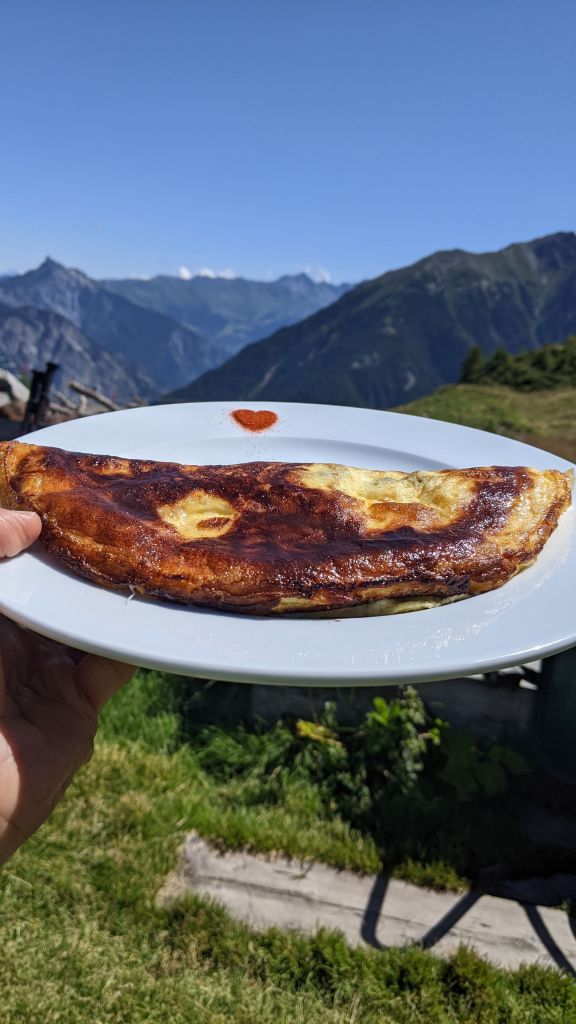
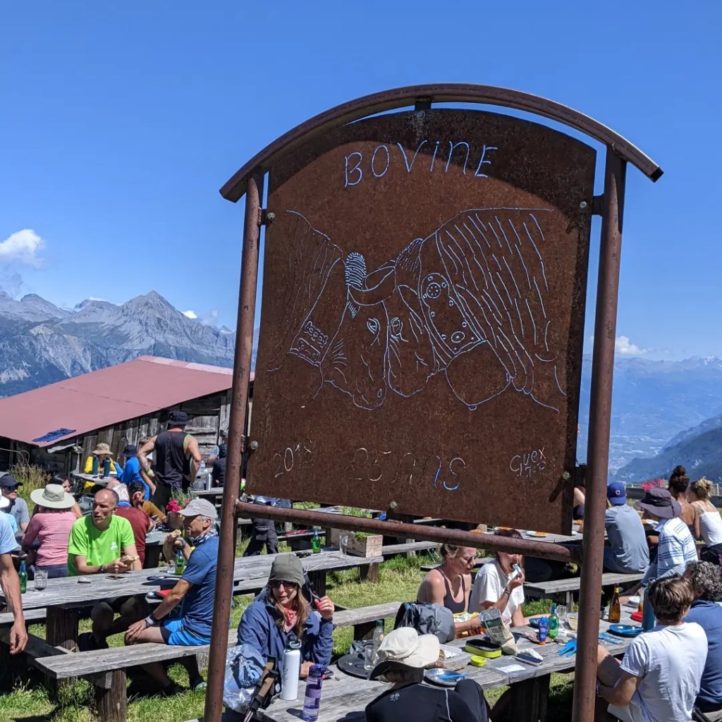
Around mid-day, we reached up at Alp Bovine which is a dairy farm who are known for their delicious lunches. We decided to have their vegetable soup and Cheese mushroom omelette and it didn’t disappoint at all 😋
Our refuge for the night in Trient turned out to have spectacular views of Glacier de Trient 🏔️
Day 9
Trient -> Col du Balme -> Tre-le-Champ
Distance covered – 14 kms
⬆️ 1000 mtrs
⬇️ 850 mtrs
Today started immediately with an ascent of around 800 mtrs via wooded forests upto Col de Balme where we crossed the Swiss 🇨🇭 border to France 🇨🇵 and got a view of the snow dome of Mont Blanc once again after 3 days.
This point has been a bone of contention between the 2 countries, as a result the refuge here has been burnt down and rebuilt several times.
The path from here on are mostly descents with cattle grazing grassy patches nearby which then becomes rocky zigzags containing bilberry & juniper leading down to the valley of Tre-le-Champ. Some of the sections did get a bit slippery and a bit hard on the knees as it started raining so best to tread carefully here.
We ended up getting soaked in the rain but the day ended well when we got to our refuge and had a delicious homemade blueberry tart 🍰😋
Day 10
Tre-le-Champ -> Lac Blanc -> Chamonix
Distance covered – 15 kms
⬆️ 1080 mtrs
⬇️ 520 mtrs
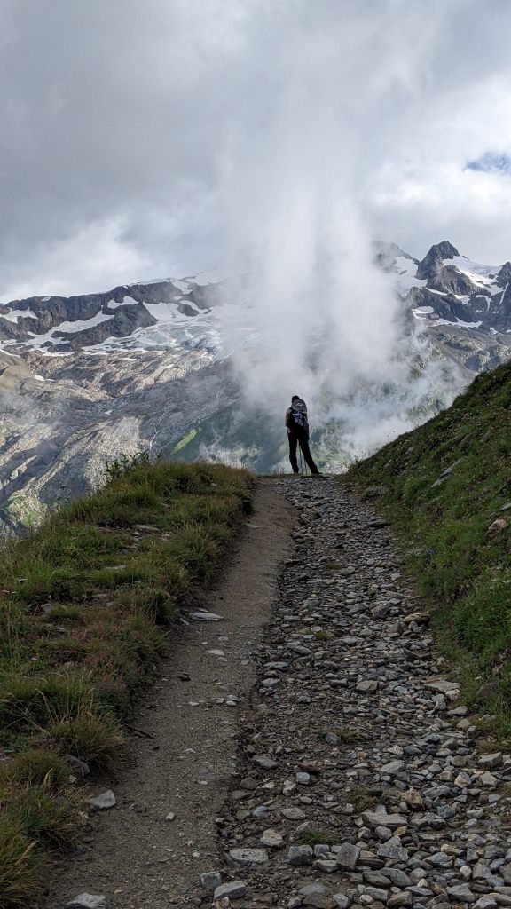
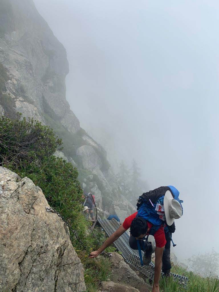
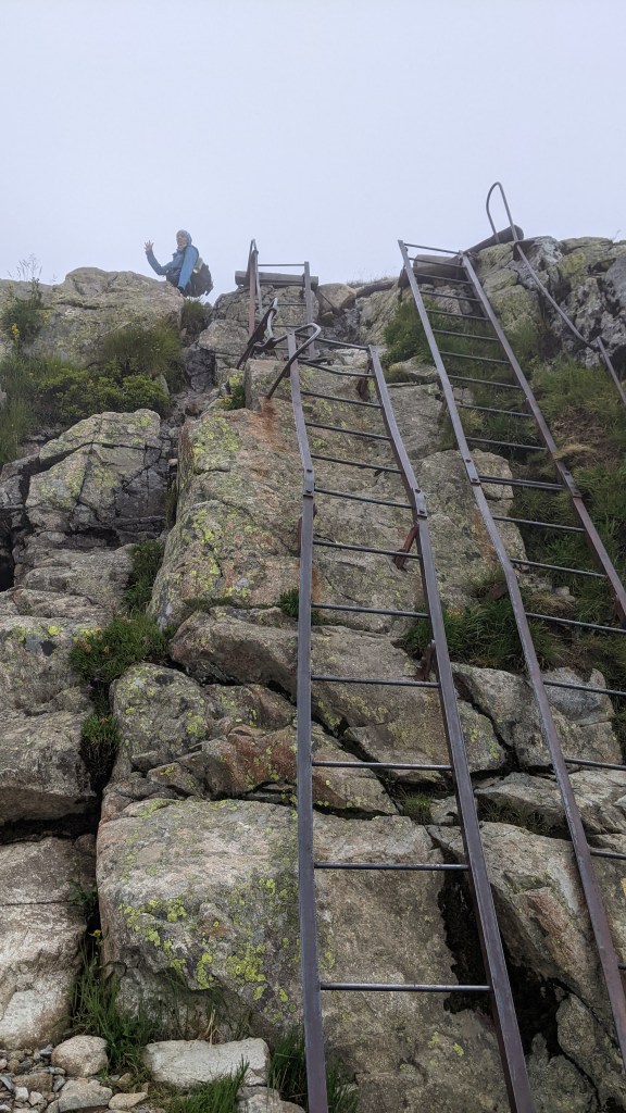
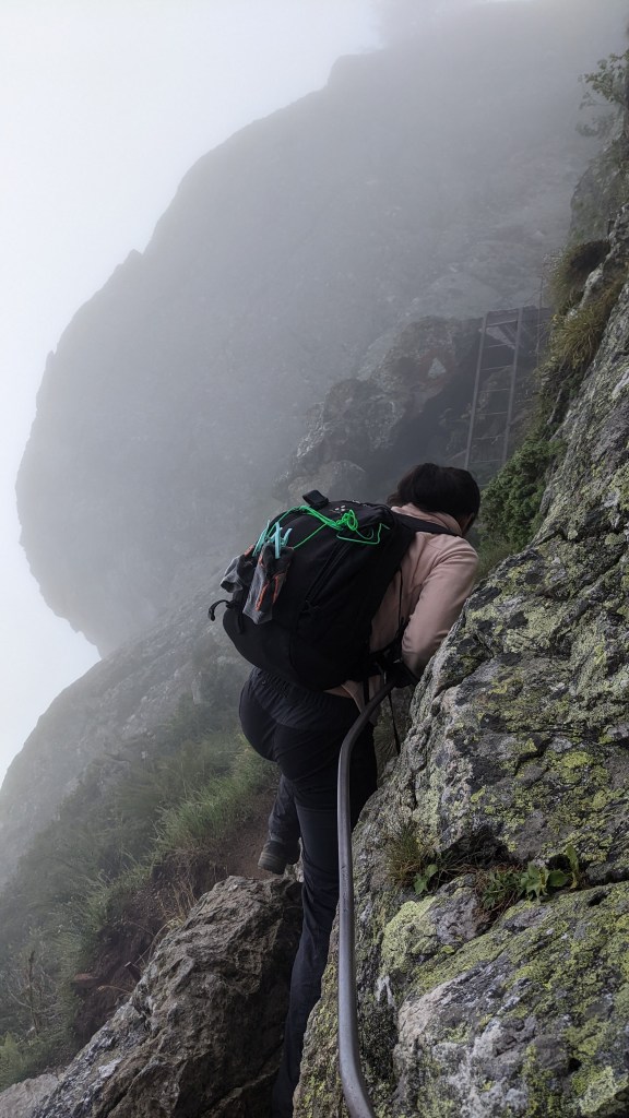
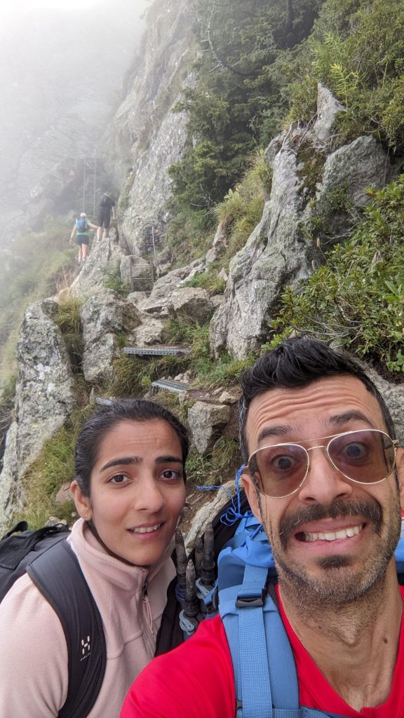
Finally, it’s the last day of our trek. One can sense the slight air of melancholy in the refuge as we realize all this is going to be over soon and we’ll have to go back down to the normal world into our normal routines breathing the polluted city air instead of this fresh Alpine air we’ve got used to over the past 10 days. The weather outside looked quite overcast and foggy which was quite disappointing as this section of the trek is known to be the most visually appealing one.
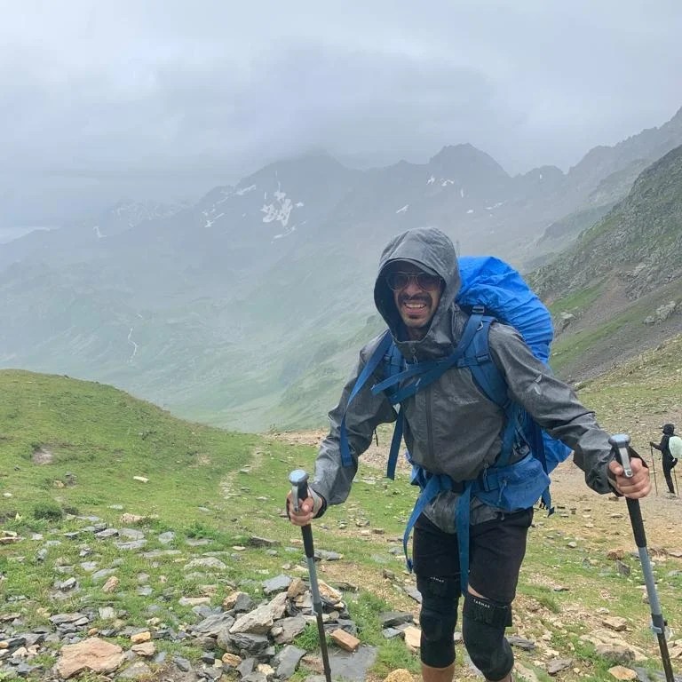
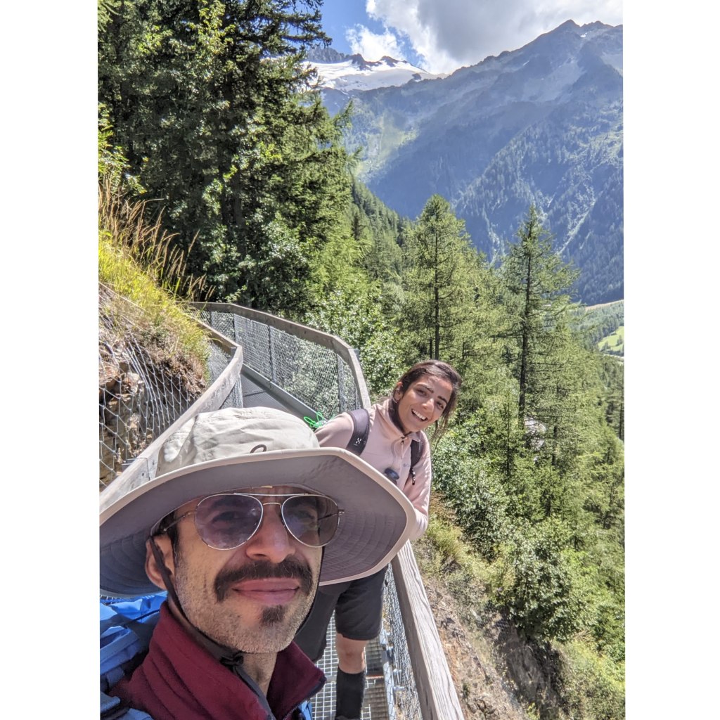
After about 2 hours of ascent, we came across the first “Via Ferratta” of many more to come ahead. For those who are not aware of what they mean, Via Ferratta stands for Iron Roads, translated from Italian. These routes are built into rock faces with cables and ladders, originally developed by the Italian Army in the Dolomites during WW1 to access “inaccessible” peaks and equip safe passage for the troops carrying heavy equipment.
We managed to safely climb all these Via Ferrattas but to be honest, it was one of the scariest moments of our lives.
With massive cliff drops to our left, even a single slip or wrong footing would’ve meant instant death. If you have fear of heights or if it’s raining, please take extreme caution while attempting these as it can be very fatal.
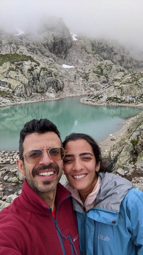
We reached Lac Blanc eventually which is an extremely beautiful glacial lake formed up above the clouds.
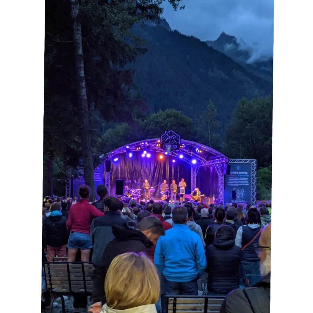
After spending some time up there, we started our descent down to the Chamonix valley where we stayed for the night and celebrated the completion of this long and grueling trek with some french food and a well deserved blueberry tart 😋 And the night got even better as we ended up attending an outdoor music festival going on in Chamonix 😃
Finishing notes
As we head back home from the Alps with a heavy heart, I can’t help but reflect back on what made the Tour du Mont Blanc trek so special. It’s not just the fresh Alpine air & the picturesque views but also the food & people. The hardworking staff in refuges who cook you delicious food & how you start meeting the same hikers again & again as we head on the same direction on the trail.
Usually conversations begin with a simple “Bonjour” or “Merci” and if you bump into each other too many times, you start to ask them where they’re headed on the day, which route they are taking and so on. Staying in the same refuges every now and then, sharing showers, having dinner together, eating the same food and drinking wine together after a strenuous climb during the day creates a strange yet special bond.
During these short conversations, you realize that most of us have a lot in common probably because of the love for nature & outdoors and most of us speak about how the glaciers are receding year after year. There’s a sense of a deeper connection but you don’t want to ruin it by saying it aloud. You just nod your head & smile when you meet them again knowing deep inside you’re part of the same “hike tribe” even if you might never meet again 🙂
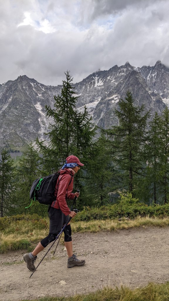
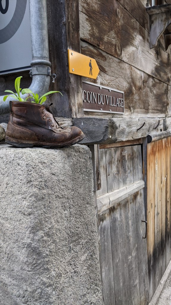
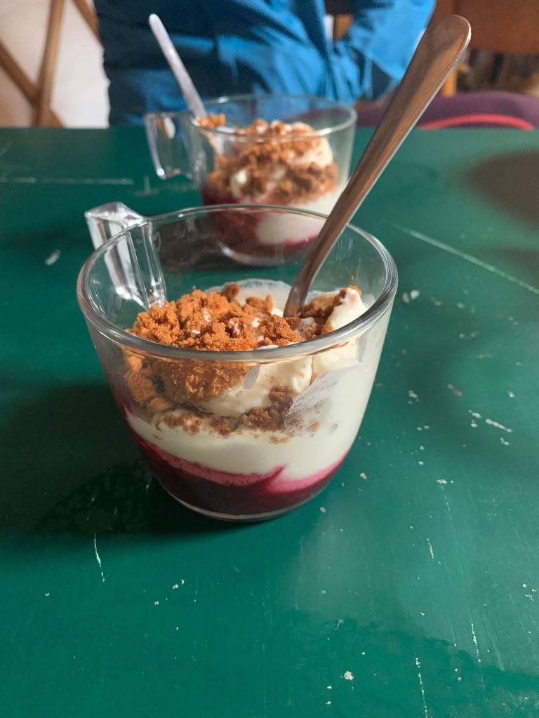
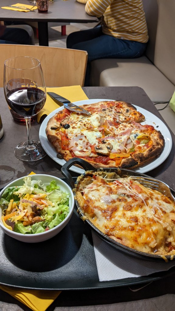
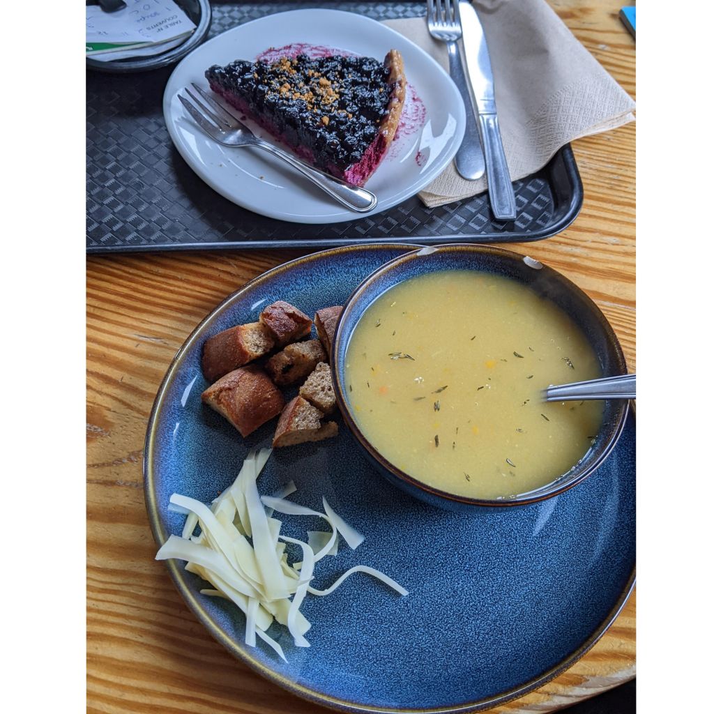
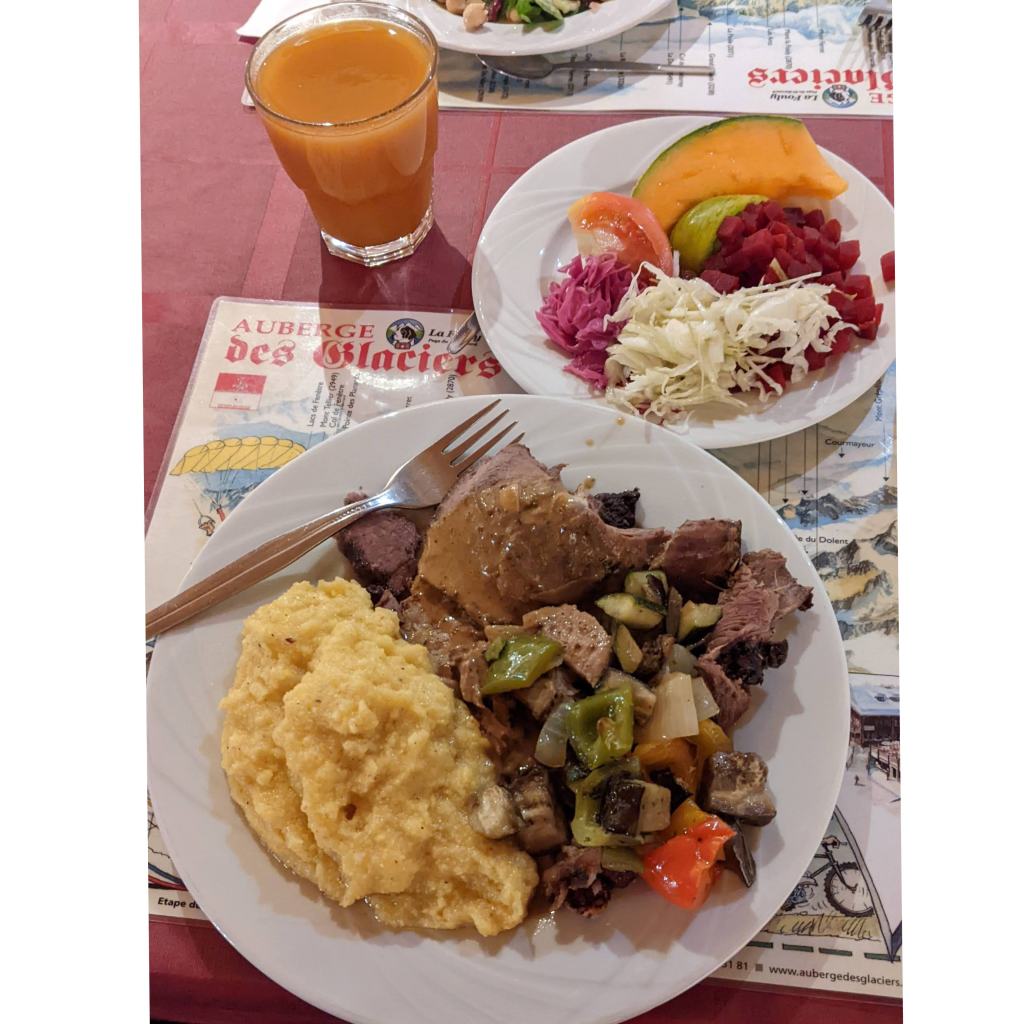
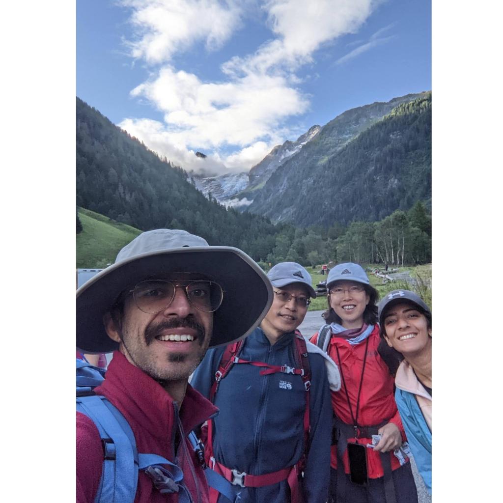
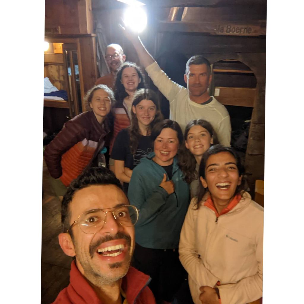
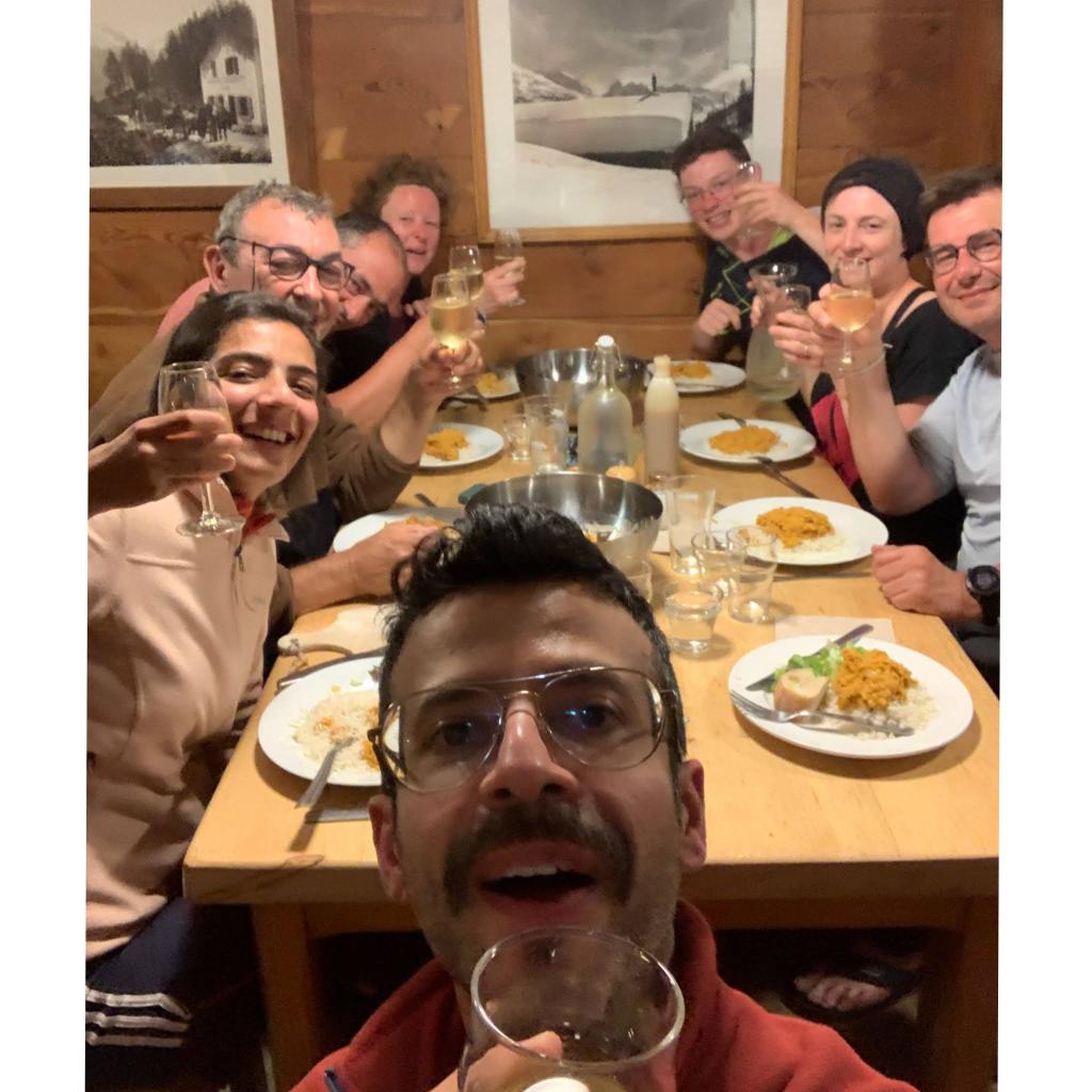
This collection of photos is a small memoir of some of some of the amazing people we met & the delicious foods we had at various refuges.
Things to keep in mind
- We were able to book refuges in March for our July trek using https://www.montourdumontblanc.com/fr/index.aspx
- Either of Cicerone & Knife edge outdoors books are recommended as they contain a lot of useful information including maps.
- Buses to/from Geneva airport can be booked easily via Omio
- Bring hiking poles and wear knee braces. The steep inclines and descents will take a toll on your knees.
- Bring hanging clips to hang your washed clothes overnight.
- Carry ear plugs and an eye mask. A decent night’s sleep will keep you rejuvenated the next day especially when you don’t have to hear people’s snoring and farting in the dormitories 😁
- Get a book or a kindle. There’s hardly any internet here so you need something for evenings.
- Carry a powerbank. It’s hard to find electric charging points at most refuges. Also, carry an adaptor that works in France, Italy and Switzerland.
- Bring cash. Many places don’t accept cards.
- Carry a nice sleeping liner. You’ll be using it for 2 weeks so it’s advisable to buy a lightweight good quality liner.
- Keep your clothes and valuables in a dry bag.
- Refuges serve breakfast strictly at 7 am so be prepared to wake up at 6 am everyday.
- Make sure to reach your refuge around 6 pm otherwise there’s a high chance you might lose your reservation and the dinner. Also, its best to keep the staff informed by email/phone call if you’re going to arrive later than 6 pm.
- Check the next day’s weather forecast. Usually thunderstorms occur around 2-4 pm in the afternoon so either aim to leave early at 5 am on those days and reach your refuge by then or have somewhere to stop during that time. It’s not advisable to be out there during this time 🌩️⚡
- Carry good rain gear, gloves and a fleece. Trust me, you’ll need it!
- Wear proper hiking boots… Trail shoes like Hoka are not ideal for the rocky terrain here.
- Don’t carry too much water. 1 litre bottle is enough to get you through the day.
- Keep some backup snack food in case you don’t get lunch on your way. Refuges at lunch hour can be extremely busy and you could be in a rush depending on how much distance left to cover.
- And finally, don’t be in a rush unless you’re really pushed for time. Stop every once in a while and soak it all in. You’ll be walking through some of the most beautiful moments of your life 🙂

I really enjoyed reading your blog. We are heading out the first week of September and very much looking forward to it. We are in a guided tour so no refuges for us but I can appreciate what you and others have had with your stays, both the good and the challenging. 😀
LikeLiked by 1 person
Thank you 🙏 Glad you found it useful 🙂
LikeLike